
Nahuel Mapá
Nahuel Mapá, San Luis, Argentina.
9.386 ha.
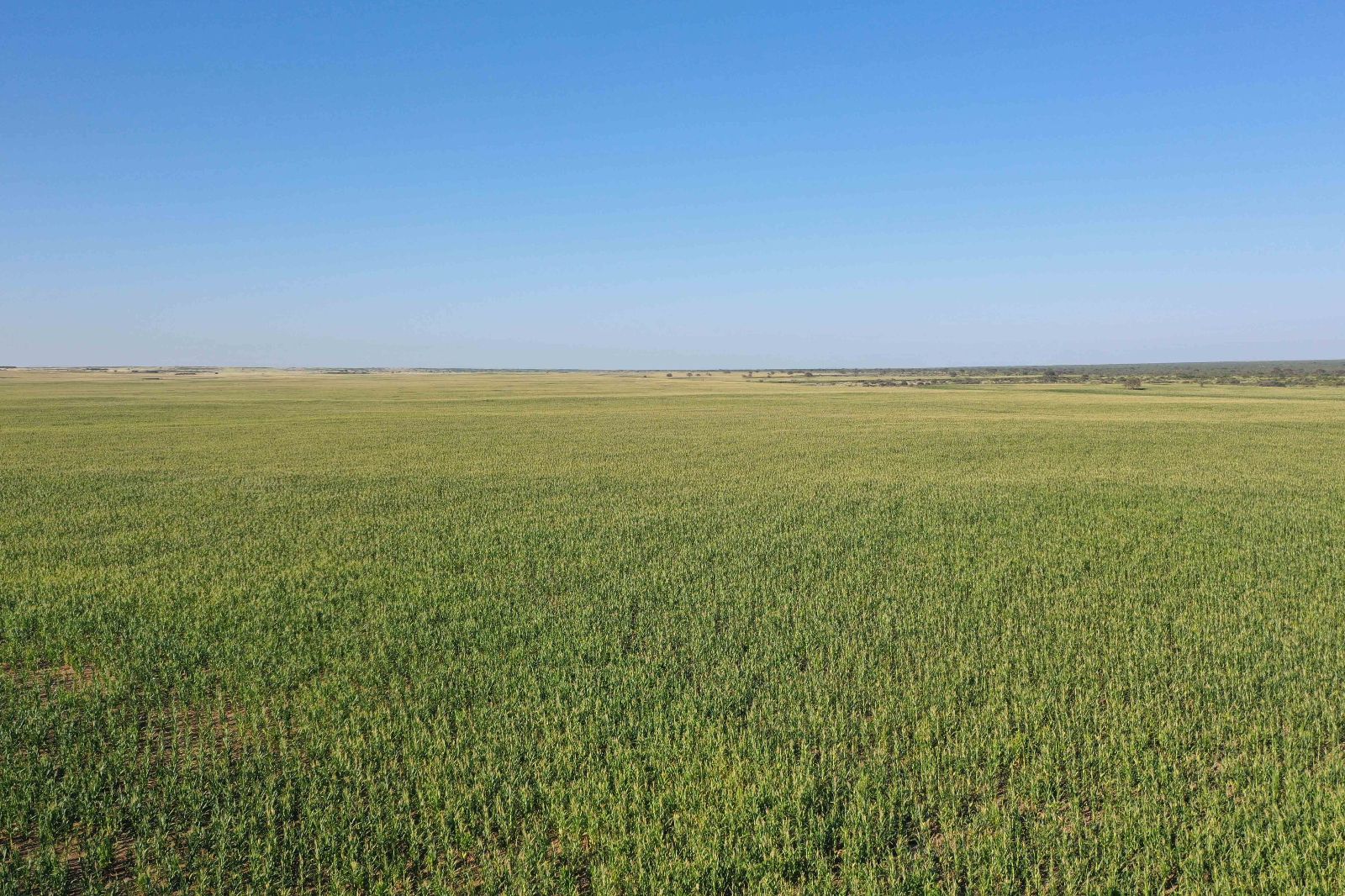
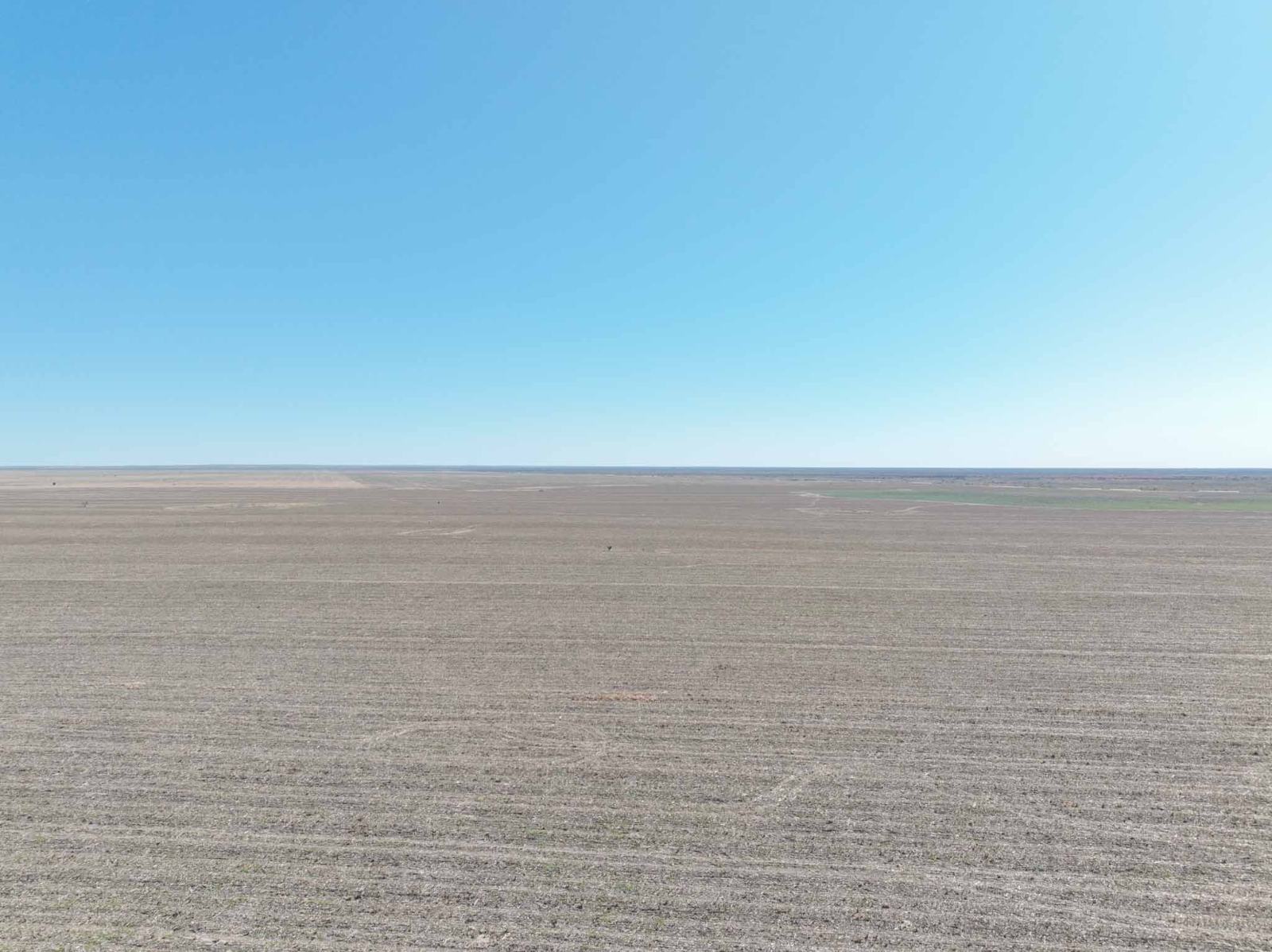
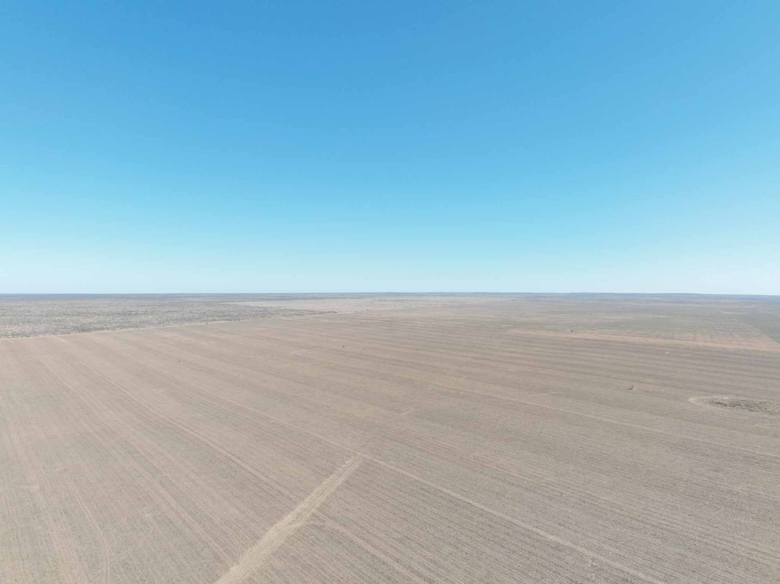
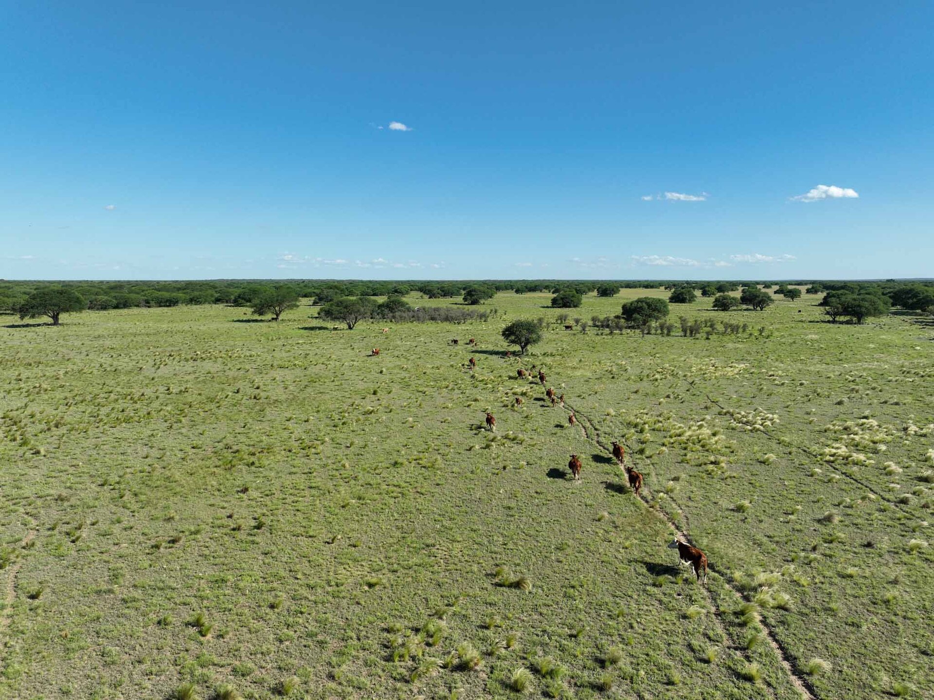
Property located in an area with strong production and commercial infrastructure for livestock activity and, due to shifts in rainfall patterns, it also offers excellent agricultural potential.
Between $10M y $15M
Nahuel Mapá
Nahuel Mapá, San Luis, Argentina.
9.386 ha.
Total
Property located in an area with strong production and commercial infrastructure for livestock activity and, due to shifts in rainfall patterns, it also offers excellent agricultural potential.
Between $10M y $15M
MIXED
APTITUDES
4.200 ha.
AGRICULTURAL
1.386 ha.
WOODLAND
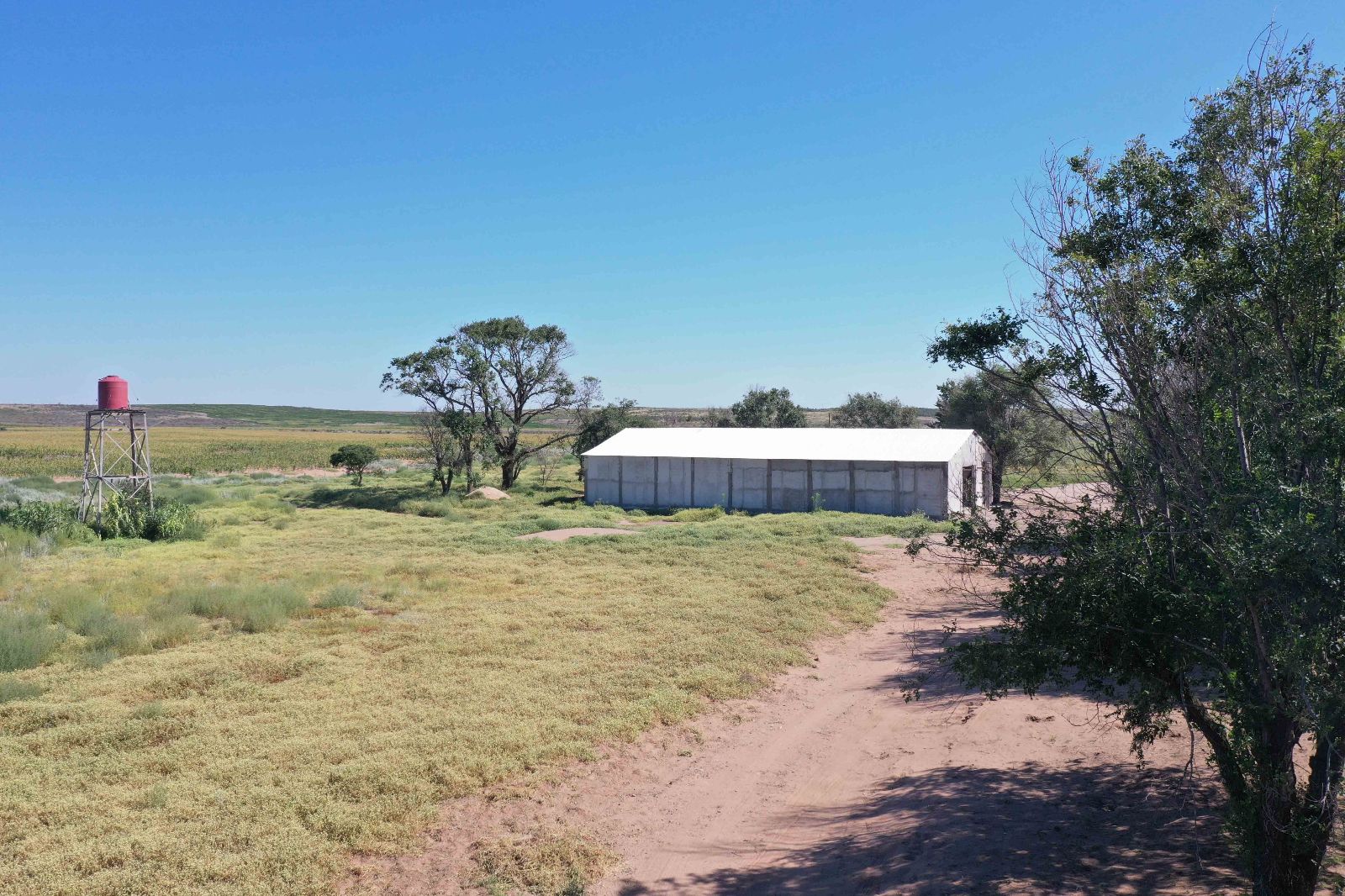
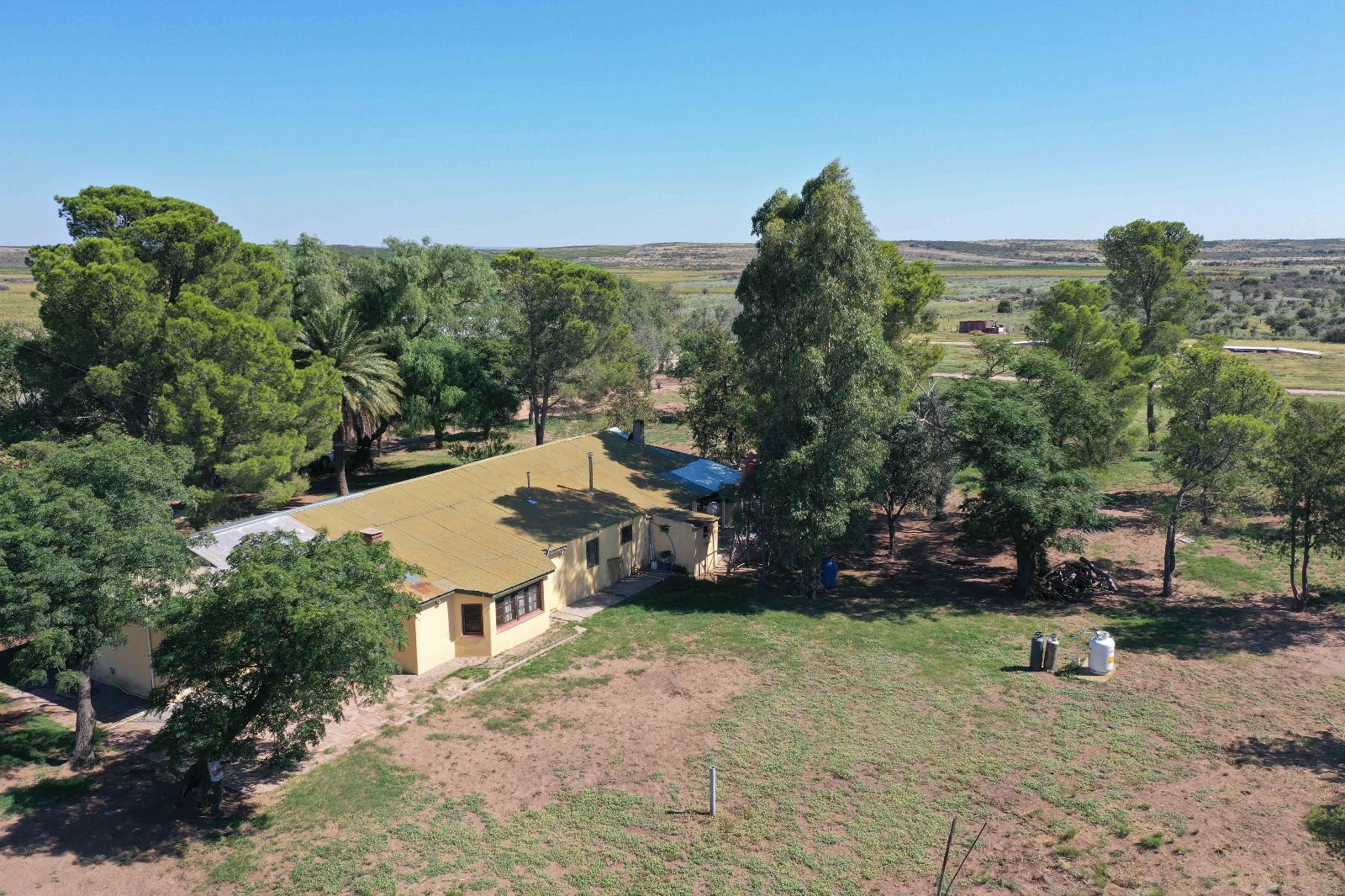
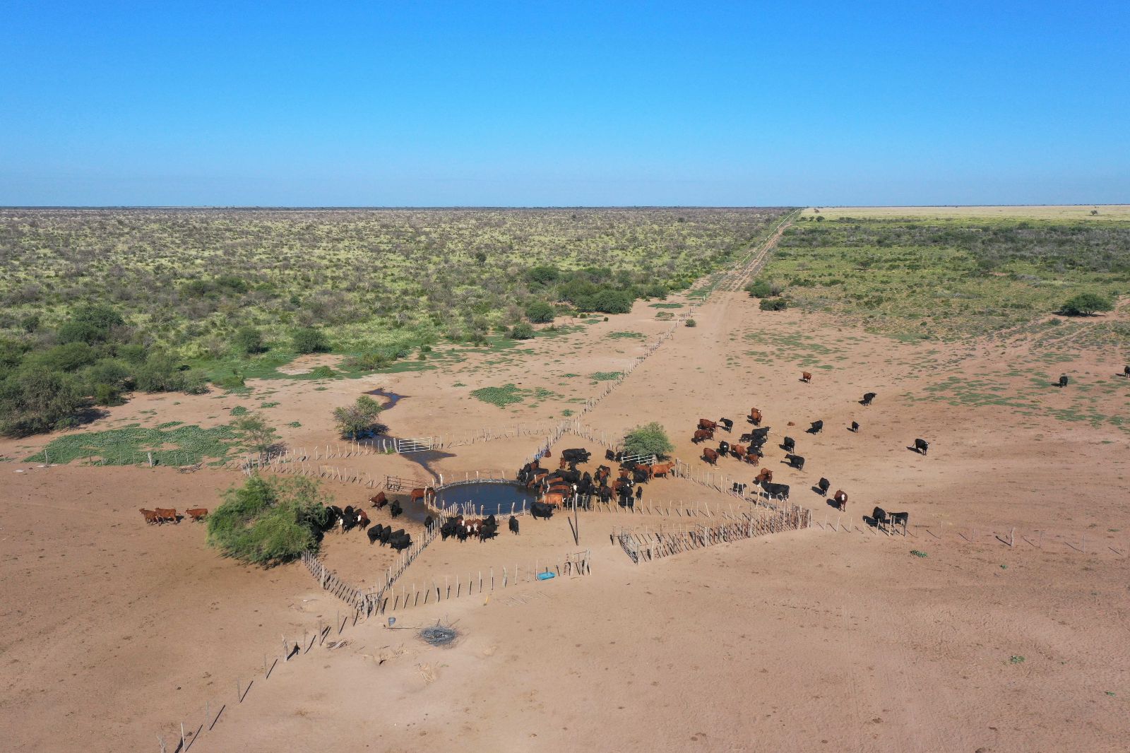
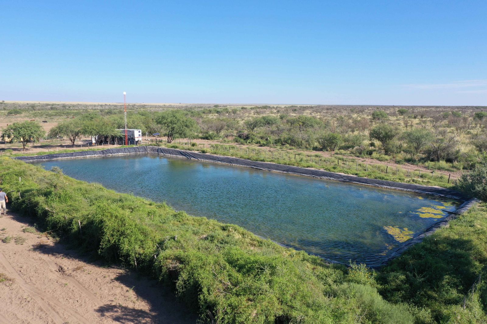
The property is located in western San Luis Province, on Provincial Route N°3, 16 km north of Nahuel Mapá, 67 km north of Unión, and 160 km south of San Luis City. It is situated in an area with solid production and commercial infrastructure for livestock operations.
Due to shifts in rainfall patterns, the field now presents strong agricultural potential. This is supported by increased annual precipitation and favorable soil phosphorus levels, enabling the cultivation of crops such as corn, sunflower, and alfalfa, among others.
SIMILAR PROPERTIES IN SAN LUIS
LA PUNILLA
1.032 ha.
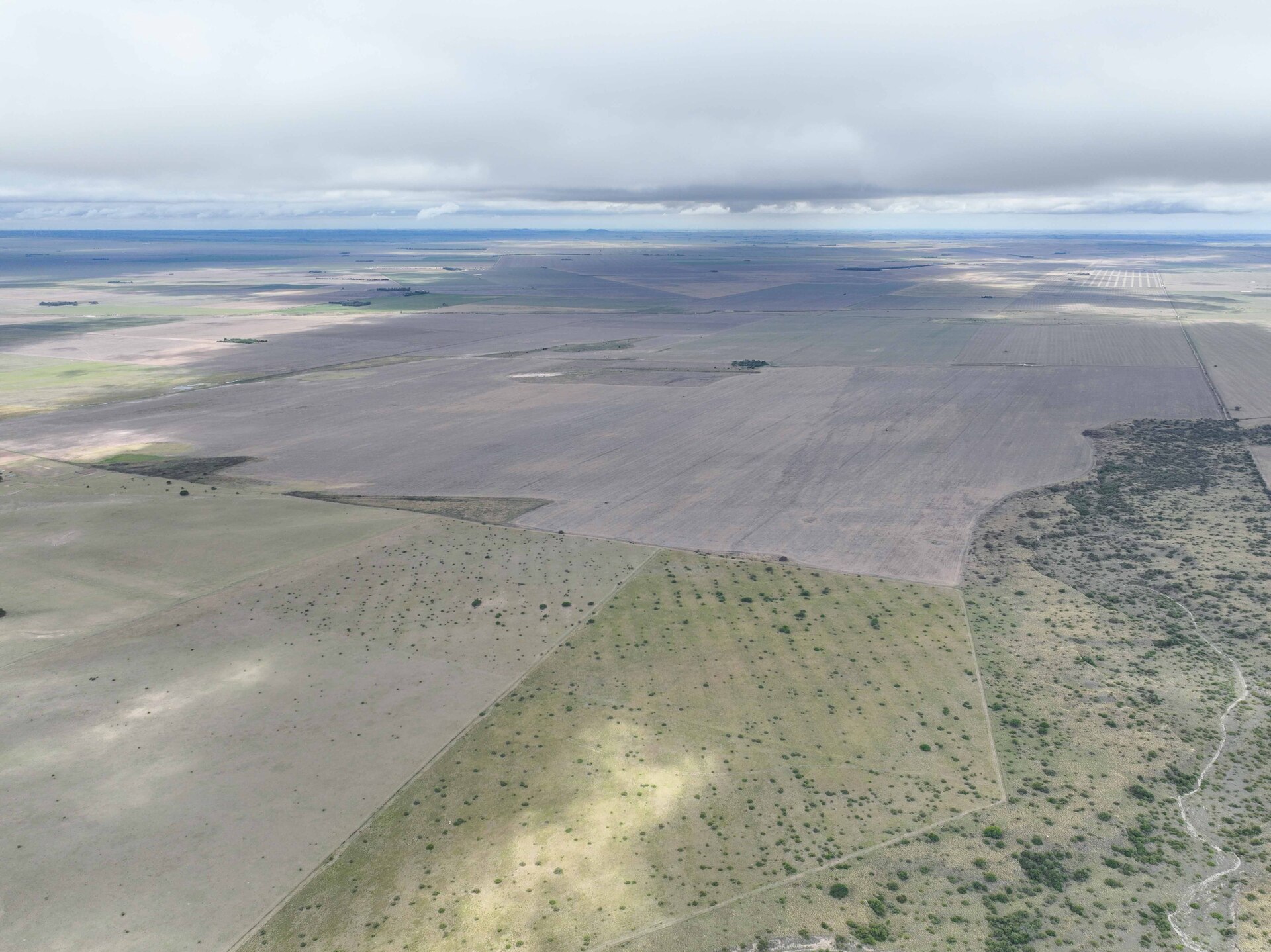
La Punilla, San Luis

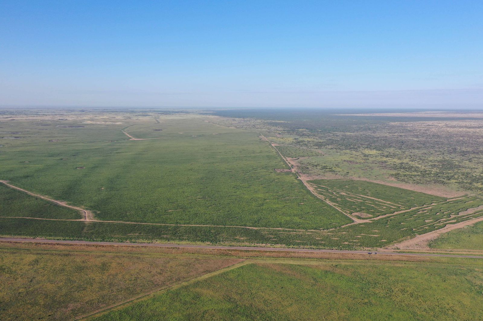
Agricultural field with gently undulating sandy and sandy-loam soils, currently planted with sunflower and corn, and rotated with sorghum.
View more
NAHUEL MAPÁ
7.742 ha.
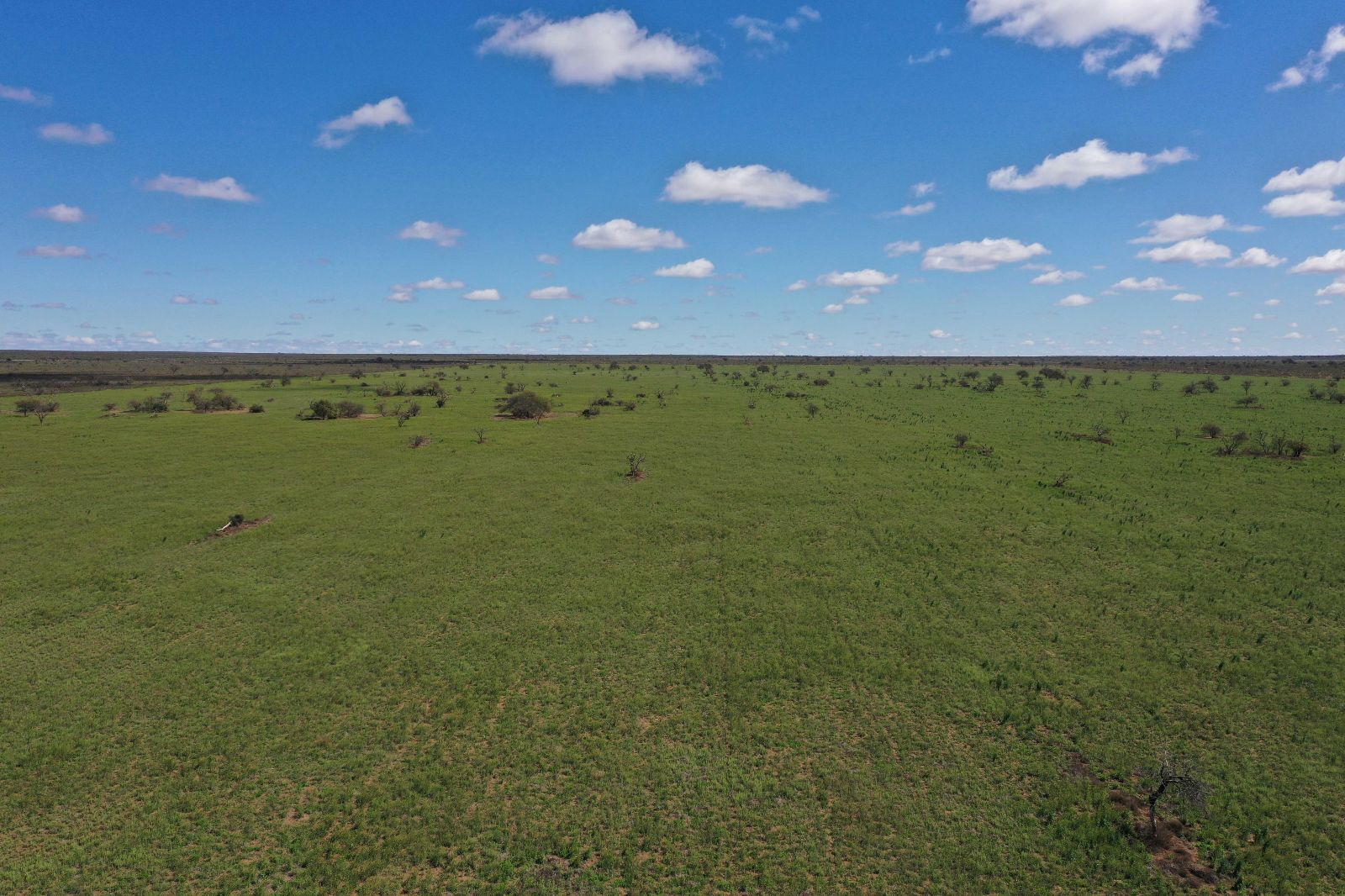
Nahuel Mapá, San Luis
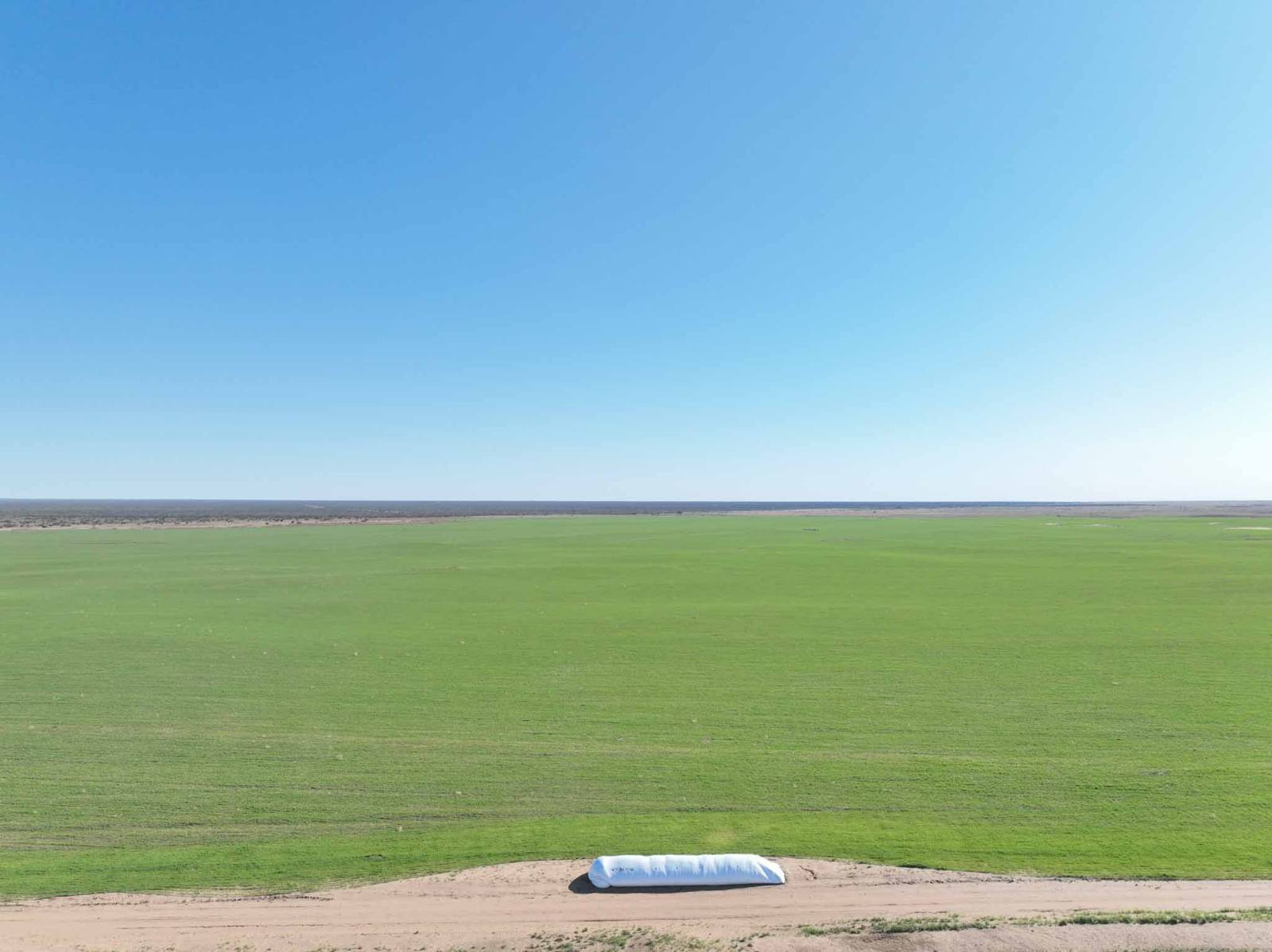
Livestock property for breeding and rearing, located on Provincial Route N°3. It has a total area of 7,742 hectares, with 2,200 hectares allocated to forage agriculture. Crops include rye, sorghum, melilotus, weeping grass, corn, and wheat, while the remaining area consists of natural pasture.
View more
ARIZONA
2.307 ha.
Arizona, San Luis
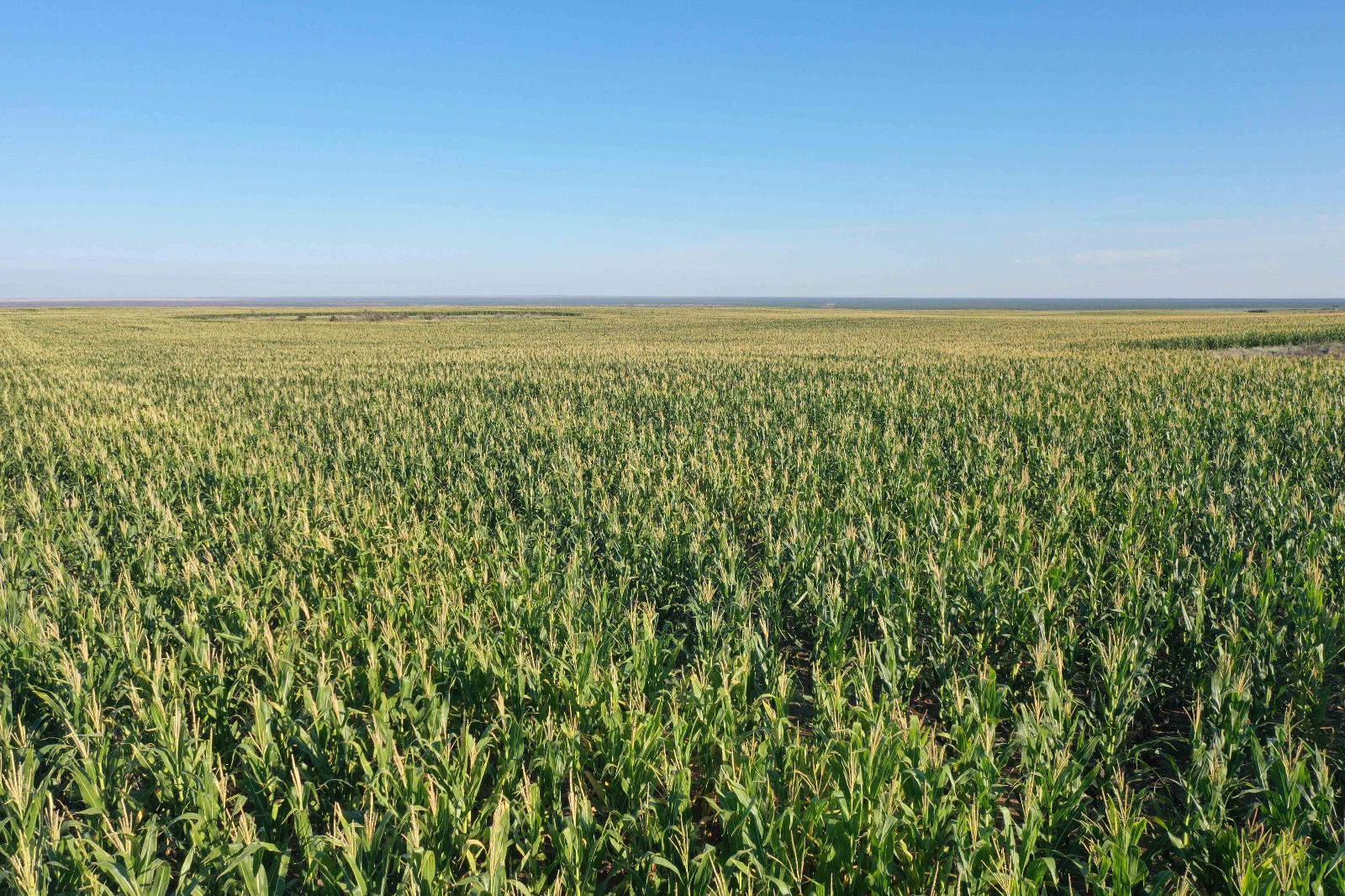
Livestock property with 14% of the total area (330 cleared hectares) suitable for agriculture, currently used to grow pastures for livestock production.
View more

